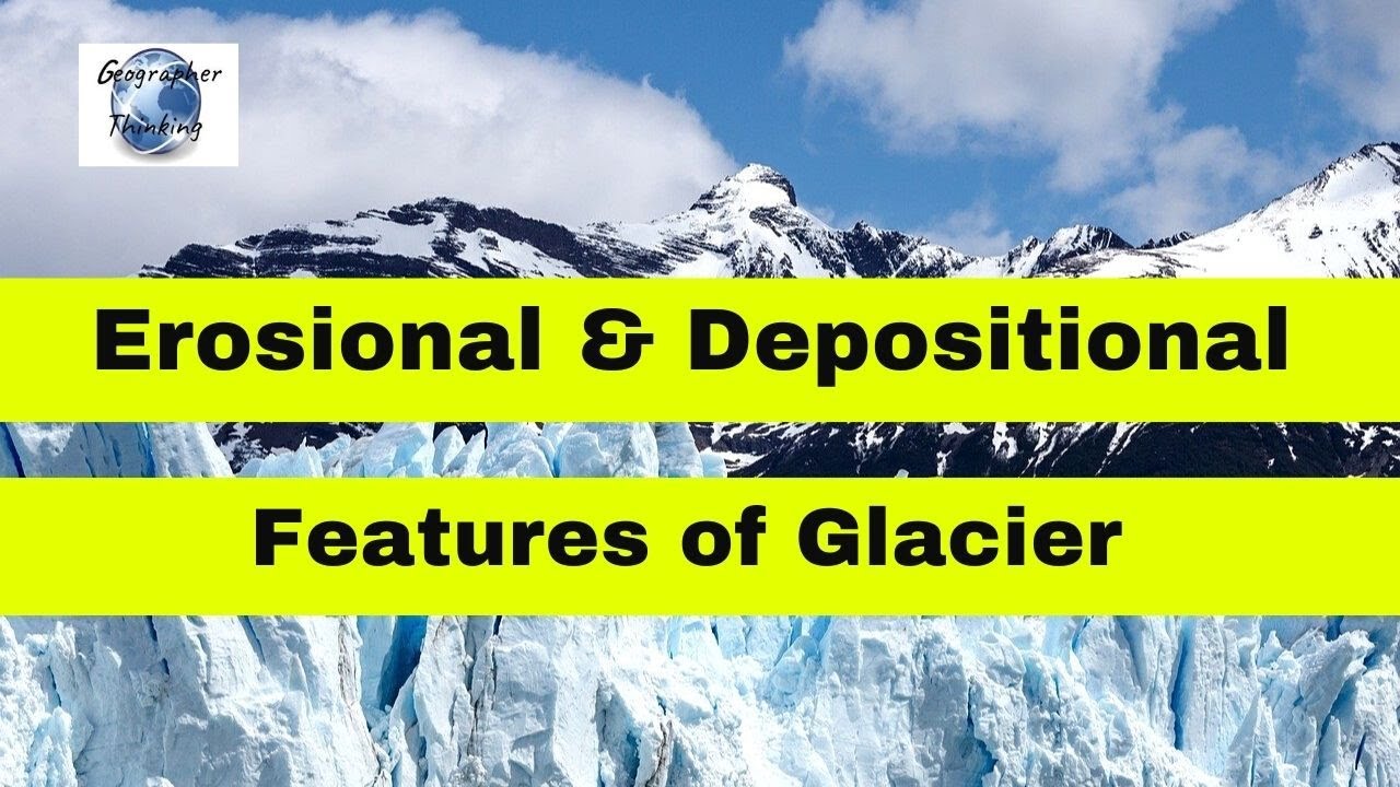
Embark on a geological journey to understand how glaciers, which are massive moving rivers of ice, profoundly shape the Earth’s surface. Over long periods of , these giant ice bodies create remarkable glacial erosional and depositional landforms, such as Cirques, Horns, Moraines, and Drumlins. This detailed account is designed for students preparing for physical geography tests, making complex ideas in geomorphology clear and easy to grasp without losing important scientific concepts.
🎯 In this chapter, you will understand:
- How layers of accumulated snow squeeze together under heavy weight to form massive glaciers over .
- How glaciers scrape, pluck, and carve steep mountains into sharp peaks, bowl-shaped basins, and wide valleys.
- How melting ice drops rocks, sand, and mud to build unique hills, ridges, and flat plains.
- How to identify key landforms like Cirques, Arêtes, Moraines, Eskers, and Drumlins for exams.
💡 Why this topic matters: Glaciers are powerful natural machines that have reshaped entire continents over . Studying them helps us read the story of Earth's past climates, understand how famous landscapes formed, and predict future environmental changes.
🧠 Core Idea: Glaciers slowly carve out the land where they move (erosion) and build brand-new land features where they melt and drop their heavy rocky load (deposition).
Glaciers as Powerful Geomorphic Agents Shaping Earth's Surface
Glaciers are defined as huge, heavy masses of moving ice that constantly shape the land by wearing down high places and dropping material in low places. The story of a glacier begins with simple snowflakes falling on a mountain. As more snow falls year after year, the bottom layers get squished super tight by the heavy weight above until the snow turns into solid ice. Once this ice becomes big and heavy enough, gravity pulls it downward, making it slide very slowly over the ground as a powerful natural tool.
Understanding Glacier Types and Movement
Glaciers come in different shapes and sizes depending on where they form and how they spread across the landscape.
- (i) Definition and Types of Movement: A glacier is basically a giant block of ice traveling over land. When it covers vast areas of a continent, it is called a continental glacier or a piedmont glacier. When it flows like a river down a mountain track, it is called a mountain glacier or a valley glacier.
- (ii) The Slow but Mighty Movement: Unlike rivers of water that rush downstream quickly, glaciers move extremely slowly. They might creep forward only a few centimeters or a couple of meters every single day. Even though they move slowly, the endless downward pull of gravity keeps them pushing forward.
- (iii) Immense Erosional Power: Because the ice mass is so huge and heavy, it creates massive dragging pressure against the ground, causing deep glacial erosion. As the ice glides, it grabs big, sharp rocks and drags them along its bottom. These trapped rocks scrape the bedrock beneath them like giant piece of sandpaper, wearing high mountains down into lower hills and plains over vast spans of .
The Mechanics of Glacial Shaping: Erosion and Deposition
The continuous movement of a glacier is a dual process of destruction and creation. It breaks down high rocky ground in cold upper areas and carries that heavy load down to lower, warmer places where the ice melts and leaves the rocks behind, completely changing how the land looks.

Glacial Erosion: Plucking, Abrasion, and Landform Sculpture
During the destructive carving phase, the glacier uses its incredible weight and embedded rock chunks to cut deep into the Earth. The ice tears rocks away from the valley floor and drags them along, scouring and smoothing the ground beneath it while lowering entire mountain ridges.
- (i) Erosion's Intensity: The sheer weight of the ice creates tremendous dragging friction against the bedrock. This makes glacial carving exceptionally effective at crushing, breaking, and moving massive quantities of stone.
- (ii) The Role of Plucked Material: The frozen ice grabs large angular blocks of rock and pulls them along. These rough stones scrape against the underlying solid rock floor like a massive chisel, widening and deepening the valley floor day after day.
- (iii) From Mountain to Plain: Over thousands of , this endless scraping flattens tall, jagged mountain peaks into smooth, rolling landscapes covered in distinct ice marks.
Glacial Deposition and the Creation of New Landscapes
When a glacier travels into warmer lowlands, it slows down and begins to melt. As the ice turns to water, it can no longer carry its heavy load of rocks, sand, and dirt, dropping everything onto the ground to build brand-new landscape features.
- (a) The End of Movement: The process of deposition takes place when the glacier stops advancing forward, marking the final stage in its land-shaping journey.
- (b) Residual Landforms: The material dropped by melting ice leaves behind low hills, bumpy ridges, and wide flat spaces known as outwash plains.
Classic Glacial Erosional Landforms: Carving the High Mountains
When glaciers carve into high mountain regions, they leave behind striking landforms with steep cliffs and sharp rocky points. These shapes serve as clear proof that ice once covered the region.
Cirques: The Amphitheater of Ice
The Cirque is the main birthplace of a mountain glacier and is the most common carving feature seen in glaciated mountains. These deep, arm-chair shaped bowls are dug out right where snow collects near mountain tops.
- (i) Description: Cirques are large, deep troughs or basins with extremely steep walls that drop almost straight down at the back and sides, situated right at the head of a glacial valley.
- (ii) Tarn Lakes: When the climate warms up and the glacier fully melts away, water often fills up the deep bowl of the cirque, forming a clear mountain lake called a cirque lake or a tarn lake.
- (iii) Stepped Sequence: In areas with many connected mountain glaciers, several cirques can form one after another down a slope like a giant set of stairs, creating a stepped sequence.
Horns, Arêtes, and Serrated Mountain Peaks
When multiple glaciers carve away at the same mountain peak from different sides, they sharpen the remaining rock into steep points and razor-thin ridges.
- Horns: A horn is a sharp, pyramid-shaped mountain peak formed when three or more radiating glaciers carve away the mountain sides backwards until their steep cirque walls meet at a single high point. The famous Matterhorn in the Swiss Alps is a world-renowned example of this shape.
- Serrated Ridges (Arêtes): When two nearby glaciers carve valleys side by side, the rocky wall dividing them gets narrower and narrower until it forms a sharp, saw-toothed ridge called an arête.

Glacial Valleys, Troughs, and Hanging Valleys
One of the most recognizable clues left behind by an ancient glacier is how it transforms narrow, V-shaped river valleys into wide, steep-sided U-shaped valleys.
- (i) U-Shaped Troughs: Valleys carved by glaciers are shaped like the letter U, featuring wide, smooth valley floors and steep, vertical side walls. They often hold small marshes or long ridges of dropped rocks called moraines.
- (ii) Hanging Valleys and Truncated Spurs: Smaller side streams enter the main valley high up on the mountain walls. Their smaller glaciers cannot dig as deep as the giant main glacier below, leaving behind high side valleys known as hanging valleys. Waterfalls often tumble down from these hanging valleys into the main trough below. The sharp mountain ends between side valleys get shaved off flat into triangular shapes called truncated spurs.
- (iii) Fjords/Fiords: Near ocean coasts in cold regions, deep U-shaped glacial valleys fill up with ocean water when glaciers melt, creating steep, beautiful coastal inlets known as fjords (or fiords).
Key Glacial Depositional Landforms: Moraines, Drumlins, and Eskers
When ice melts and loses its power to carry heavy rock loads, it drops all the collected rock, sand, and gravel. These dropped materials build unique landforms that geologists divide into two main types: unmixed till dropped directly by ice, and sorted outwash deposited by flowing meltwater streams.
Glacial Till and Outwash Deposits: The Glacial Load
Glaciers carry a mixture of materials ranging from microscopic mud to house-sized boulders, releasing them in distinct ways based on whether ice or flowing water does the dumping.
- (i) Glacial Till: This is an unsorted, chaotic mix of coarse and fine debris dropped straight onto the ground by melting ice. The rock pieces inside till are sharp and jagged with angular to sub-angular edges because they were locked inside frozen ice rather than rolled around in river water.
- (ii) Outwash Deposits: Water flowing out from melting glaciers carries smaller stones and sand along. These outwash deposits settle in orderly, layered beds with roughly stratified and sorted particles. The rock fragments have slightly rounded edges because moving stream water tumbled them along.
Moraines: Ridges of Glacial Till
Moraines are long, continuous mounds or ridges composed of unsorted glacial till that outline the edges and pathways of an advancing or retreating ice body.
- (a) Terminal Moraines: These are long, curved ridges of rock debris deposited right at the farthest point the glacier reached before it began to melt back. This spot is often called the toe or snout of the glacier.
- (b) Lateral Moraines: These ridges form along the side edges of a glacier, running parallel to the glacial valley. When the glacier melts, these side ridges can join up with the terminal ridge to create a horseshoe-shaped ridge.
- (c) Ground and Medial Moraines:Ground moraines are blanket-like layers of rock debris scattered unevenly across the valley floor when a glacier melts away rapidly. Medial moraines form right down the middle of a large glacier when two smaller side glaciers merge and bring their lateral moraines together.

Eskers, Outwash Plains, and Drumlins: Unique Deposits
Specific melting conditions produce unique geological features, ranging from underground stream tunnels to smooth egg-shaped hills.
- Eskers: When streams of meltwater flow through dark tunnels beneath the glacier, sand, gravel, and boulders settle on the tunnel floor. When the ice melts away completely, these buried stream beds are left behind as long, winding, snake-like ridges called eskers.
- Outwash Plains: Beyond the front edge of a melting glacier, rushing meltwater streams spread out across wide areas, building broad, flat plains made of layered gravel, sand, silt, and clay known as glacio-fluvial deposits.
- Drumlins: Drumlins are smooth, tear-drop or oval-shaped ridges built from unsorted glacial till. The long axis of a drumlin points in the exact direction the ice was moving. The steep, blunt end (called the stoss side) faces toward the incoming glacier, while the gently sloped tail points in the direction the ice moved away.
⚡ Quick Revision Capsule: Glacial Landforms & Characteristics
This quick comparison table summarizes the primary erosional and depositional landforms created by glacial activity, highlighting their key features and how they form.
| Landform Name | Process Category | Key Characteristic Description |
|---|---|---|
| Cirque | Erosional (Carving) | Deep, arm-chair shaped bowl carved into upper mountain walls; can hold a tarn lake. |
| Horn | Erosional (Carving) | Sharp, pyramid-shaped mountain peak formed where three or more cirques erode backwards. |
| Arête | Erosional (Carving) | Narrow, sharp-edged ridge with a saw-tooth profile dividing two adjacent glacial valleys. |
| U-Shaped Valley | Erosional (Carving) | Wide, broad-bottomed valley with steep straight sides carved out by moving ice masses. |
| Moraine | Depositional (Building) | Long ridge or layer composed of unsorted glacial till (terminal, lateral, medial, or ground). |
| Esker | Depositional (Building) | Winding, snake-like ridge of sand and gravel formed by streams running beneath ice tunnels. |
| Drumlin | Depositional (Building) | Smooth, oval-shaped hill of till resembling an inverted spoon, pointing in the ice movement direction. |
📝 Summary
The study of glaciers as geomorphic agents gives us amazing insights into the natural forces shaping our planet. Powerful erosional features like Cirques, Arêtes, Horns, and U-shaped Valleys demonstrate the massive carving power of ice. Meanwhile, major depositional landforms like Moraines, Eskers, and Drumlins show how melting glaciers drop heavy rock loads to construct new landscapes. Mastering these glacial landforms and the mechanics of ice movement is essential for students of physical geography, helping us read past ice ages and understand how Earth's surface evolves over long periods of .
🚀 Quick Revision Points
Essential facts to review before examinations:
- (i) Glaciers form when snow accumulates over many and compresses into heavy ice masses under gravity.
- (ii) Glacial carving occurs through two main processes: plucking (tearing rocks free) and abrasion (scraping bedrock with trapped stones).
- (iii) Cirques are arm-chair shaped bowls at mountain heads that often fill with water to form tarn lakes after ice melts.
- (iv) Terminal moraines mark the exact farthest point reached by a glacier's advancing toe.
- (v) Drumlins are smooth, egg-shaped hills made of till whose steep blunt end points toward the incoming ice source.
- 💡 Exam Tip: When answering geography exam questions on glacial valleys, always emphasize that rivers form narrow V-shaped valleys with jagged turns, whereas glaciers broaden and straighten them into wide U-shaped valleys with truncated spurs!
❓ Frequently Asked Questions (FAQ)
Q1: What is the main difference between glacial till and outwash deposits?
A1: Glacial till is an unsorted, chaotic mix of sharp, angular rocks dropped directly by melting ice. In contrast, outwash deposits are sorted into layers of sand and rounded gravel carried and laid down by flowing meltwater streams.Q2: How does a tarn lake form?
A2: A tarn lake (or cirque lake) forms when the ice inside a bowl-shaped mountain cirque fully melts, leaving behind a deep rocky basin that fills up with rainwater or snowmelt.Q3: How can you tell which direction an ancient glacier was moving by looking at a drumlin?
A3: A drumlin has a steep, blunt side (called the stoss end) and a gentle, sloped tail. The steep end points toward the direction the ice came from, while the gently sloped tail points in the direction the glacier was flowing.