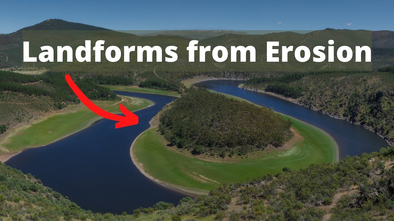
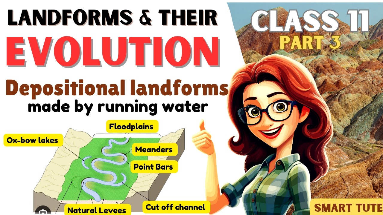
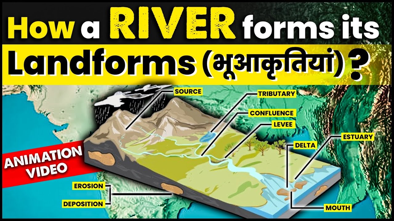
Embark on a geological journey to understand the Earth's surface features, from minute landforms to vast landscapes, a critical area for students preparing for geography exams. These dynamic features are constantly shaped by intricate geomorphic processes like erosion, deposition, and weathering, demonstrating their evolutionary nature over geological time scales.
🎯 In this chapter, you will understand:
- The real difference between individual landforms and giant overall landscapes.
- How Earth surface features grow and age through youth, maturity, and old age stages.
- How the two main opposing forces—degradation and deposition—shape the land.
- Why super strong rock structures called monadnocks refuse to break down completely.
💡 Why this topic matters: Geomorphology helps us read the story written on Earth's ground. By looking at rocks and hills, we can discover how natural elements like water, wind, ice, and earthquakes have transformed our planet over millions of years.
🧠 Core Idea: The ground under our feet is never static. Natural powers are constantly wearing down tall mountains (degradation) and filling up lower places with soil or sand (deposition), taking landforms through a complete life cycle.
Geomorphology: Study of Earth's Surface Features, Landforms, and Landscapes Evolution
The ever-changing surface of our planet is painted by the interplay of small surface features called landforms, which combine together to make up huge scenery areas known as landscapes. The difference between these features on Earth comes down to how big they are and how complex they get, giving us a helpful framework to study global physical geography.
- (i) The basic geographical unit is the Landform: defined as a relatively small to medium-sized, distinct tract on the Earth's surface possessing specific physical characteristics.
- (ii) A Landscape represents a much larger, expansive area that is fundamentally composed of several interconnected and related landforms, creating a broader geographical region.
- (iii) Each individual landform possesses a unique physical configuration—including its shape, size, and the materials it is made of—all sculpted by the persistent action of geomorphic processes and their corresponding agents (like running water, blowing wind, moving glaciers, or sea waves).
- (iv) Crucially, these surface features are not static; landforms are perpetually evolving, undergoing continuous change in their size, shape, and overall character due to ongoing geomorphic activity over time.
Landform Evolutionary Stages: The Life Cycle of Earth’s Features and External Influences
Just like living creatures, Earth's surface features travel through a full cycle of growth and change. They move step-by-step through distinct phases that show how different physical processes dominate at different points in time.
Stages of Landform Development: Youth, Maturity, and Old Age Analogy
The concept of landform evolution often mirrors a biological life cycle—a compelling narrative that helps students visualize huge geological timescales. A landform begins its journey vigorously, progresses through a stabilized phase, and eventually approaches its ultimate stage of subdued relief.

Evolution of landforms, demonstrating the natural processes shaping Earth's surface features over geological eras. - (i) Landforms progress through a sequence of evolutionary stages, conceptually categorized as youth, maturity, and old age, where the physical features of the ground change dramatically across these phases.
- (ii) The intensity and fundamental nature of the geomorphic processes acting upon the surface are highly susceptible to changes in climatic conditions and powerful tectonic movements (such as crustal uplifts or faulting).
- (iii) These external factors result in renewed modifications to existing landforms, sometimes leading to a rejuvenation of the whole cycle or the creation of entirely new features on the terrain.
Key Mechanisms Shaping Surface Relief: Degradation (Erosion) and Deposition
The continuous sculpting of the Earth's surface is fundamentally driven by two opposing, yet interconnected, processes: the tearing down of high points and the building up of low points—known universally as degradation and deposition.
- (a) Degradation (Erosion): This is the comprehensive process involving the wearing away and leveling down of high areas on the Earth's surface. It happens through mechanisms like weathering (the breaking down of rocks right where they sit), mass-wasting (large amounts of soil and rocks sliding downhill due to gravity), and erosion (the picking up and transport of ground material by wind, water, or ice).
- (b) Deposition: Following the removal of rock material by erosional agents, the accumulation and settling of these transported materials occurs in lower-lying areas. This gradual pile-up leads directly to the creation of new, distinct depositional landforms like river deltas or sand dunes.
The Limit of Relief Reduction: The Resistance of Monadnocks
It is a compelling concept in geomorphology that despite the relentless power of geomorphic agents, the complete and total reduction of a massive highland area's relief is considered an unlikely scenario, providing a great example of rock resistance.

Evolution of landforms, illustrating the gradual changes and development of geological features over time. - (i) While erosion significantly reduces the height and slope of land masses over long geological time, small, highly resistant rock remnants are often left standing prominently above the surrounding, nearly leveled flat plain.
- (ii) These resistant residual hills are known as monadnocks (named after Mount Monadnock in New Hampshire) and serve as proof that not all geological material degrades equally, marking the ultimate limit of relief reduction.
Conclusion: Importance of Studying Landform Dynamics for Geographical Understanding
Understanding the distinction between landforms and landscapes, alongside the core actions of degradation and deposition, is fundamentally important for grasping Earth's physical geography. These concepts illustrate the dynamic nature of our planet, showing how it constantly evolves through stages akin to a biological life cycle (youth, maturity, old age). For students, mastering the principles of landform evolution and recognizing the impact of tectonic and climatic changes is crucial for mastering physical geography and scoring high on competitive exams covering geomorphology.
⚡ Quick Revision Capsule: Geomorphology & Landform Stages
Here is a quick summary table covering the major concepts of landform evolution, physical processes, and surface key features:
| Feature / Concept | Core Definition & Meaning | Primary Geological Role |
|---|---|---|
| Landform | A small to medium-sized single feature on Earth's surface. | Serves as the basic building block of any broad region. |
| Landscape | A large regional expanse made of many combined landforms. | Provides a large picture of physical land features. |
| Degradation | The wearing down and lowering of high land by erosion. | Reduces mountains and hills into lower ground. |
| Deposition | The dropping and settling of sediment in low areas. | Builds up new features like river plains and beaches. |
| Monadnocks | Hard, isolated residual hills that refuse to erode easily. | Shows the maximum limit of land leveling (rock resistance). |
📝 Summary
The surface of Earth is in a state of continuous transformation over long . As detailed in physical geography studies like Fundamentals of Physical Geography, small surface structures called landforms combine across wide areas to build landscapes. Driven by weathering, mass-wasting, erosion, and deposition, the land shifts through life-like phases of youth, maturity, and old age. High lands are continually worn down while low basins get filled up, leaving only stubborn, hard rock structures called monadnocks standing above flattened plains.
🚀 Quick Revision Points
Essential facts to review before examinations:
- (i) A landform is a single small tract, whereas a landscape is a collection of related landforms.
- (ii) The land cycle moves through three stages: youth (steep/active), maturity (balanced), and old age (flat/subdued).
- (iii) Natural destruction forces are grouped under degradation (weathering + erosion), while building forces are called deposition.
- (iv) Isolated, erosion-resistant hills standing on old flat plains are known as monadnocks, famously illustrated by Mount Monadnock in .
- 💡 Exam Tip: Always remember that degradation (tearing down) and deposition (building up) work together as a pair. Never confuse a single landform (like a valley) with a whole landscape (like an entire mountain range).
❓ Frequently Asked Questions (FAQ)
Q1: What is the main difference between a landform and a landscape?
A1: A landform is a single specific physical structure on the ground (like a canyon or hill), while a landscape is a large area made up of many connected landforms grouped together.Q2: What are the three stages of landform evolution?
A2: Landforms evolve through youth, maturity, and old age. These stages describe how features start out rough and steep, become balanced, and eventually flatten out over millions of years.Q3: What are monadnocks and how do they form?
A3: A monadnock is an isolated hill made of very hard rock that survives after all the surrounding softer land has been worn down by degradation over .