The sovereign geography of India is defined by an extensive land and sea presence. This includes a massive 15,106.7 km land border alongside a vibrant 7,516.6 km coastline. Understanding these outer edges is essential for analyzing national borders, as these frontiers touch multiple states, deal with historical overlapping claims, and shape modern border protection plans.
🎯 In this chapter, you will understand:
- The total distribution of India's land boundaries and coastal borders.
- The division of frontline border states across India.
- The geographic layout of the Sino-Indian border across three sectors.
- The historical border treaties, including McMahon Line, Johnson's Line, and McDonald Line.
💡 Why this topic matters: India shares complex boundaries with several neighboring countries, making border management and spatial geography vital for national security and geopolitical study.
🧠 Core Idea: India's land boundaries span 17 states, while its coastline touches 13 states and UTs, leaving only six inland states without international or maritime frontiers.
Geographic Overview of India's Land and Coastline Boundaries
The total land area of India is shaped by a continuous land border of 15,106.7 km that passes through 92 districts across 17 States. Alongside this is a overall coastline of 7,516.6 km. This coastal measurement includes 6,100 km of mainland coastline plus an additional coastline of 1,197 Indian islands, touching 13 States and Union Territories (UTs).
Except for the interior regions of Madhya Pradesh, Chhattisgarh, Jharkhand, Delhi, Haryana, and Telangana, every other State in India features an international boundary or sea coast. This makes them key frontline States for guarding national borders. Geopolitically, India shares its longest border with Bangladesh and its shortest border with Afghanistan. Border lengths vary across neighboring countries, with the frontier along China standing as the second longest.

Analyze the Strategic Border with China across Three Key Sectors
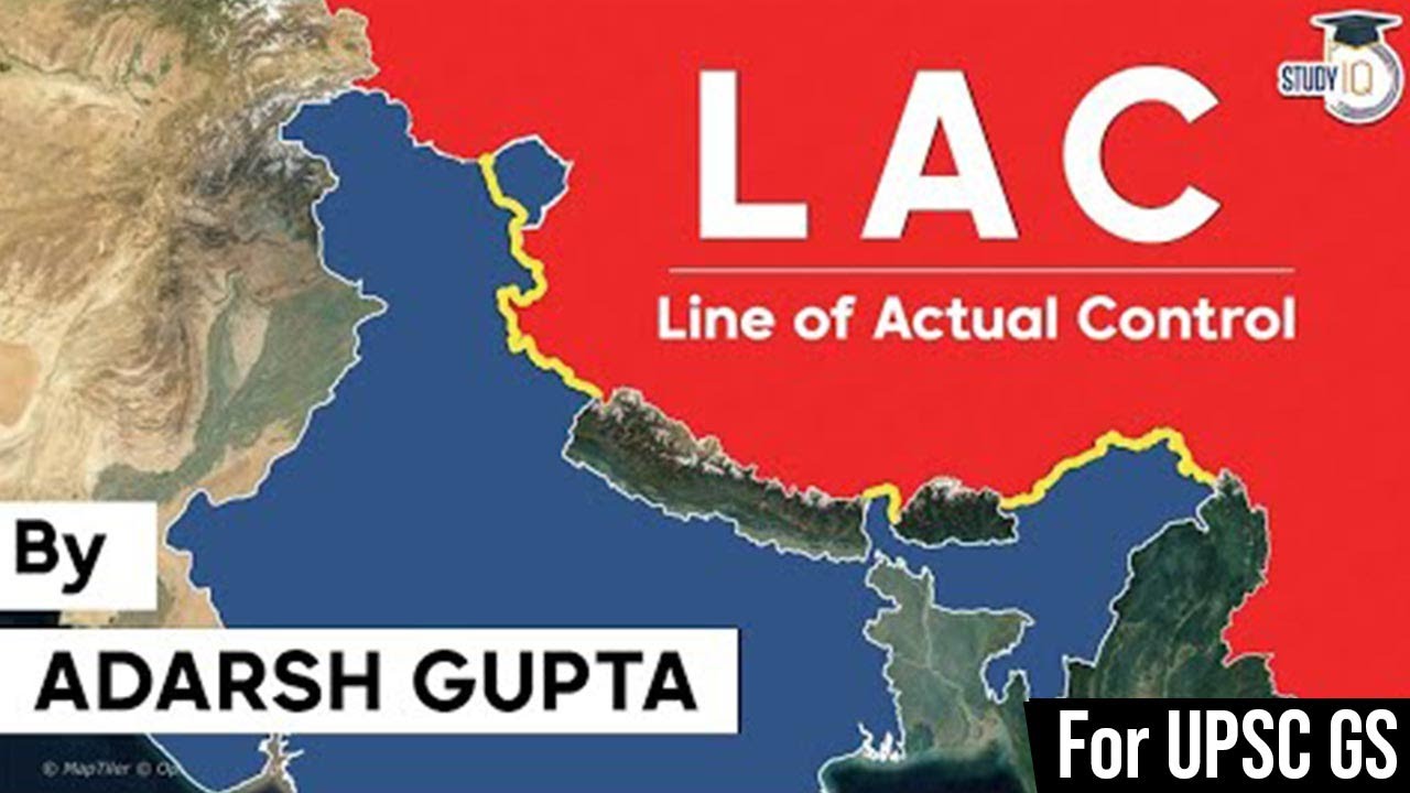
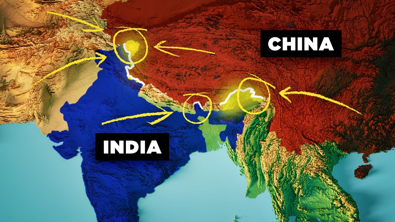
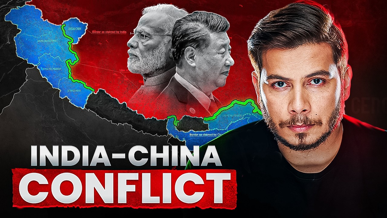
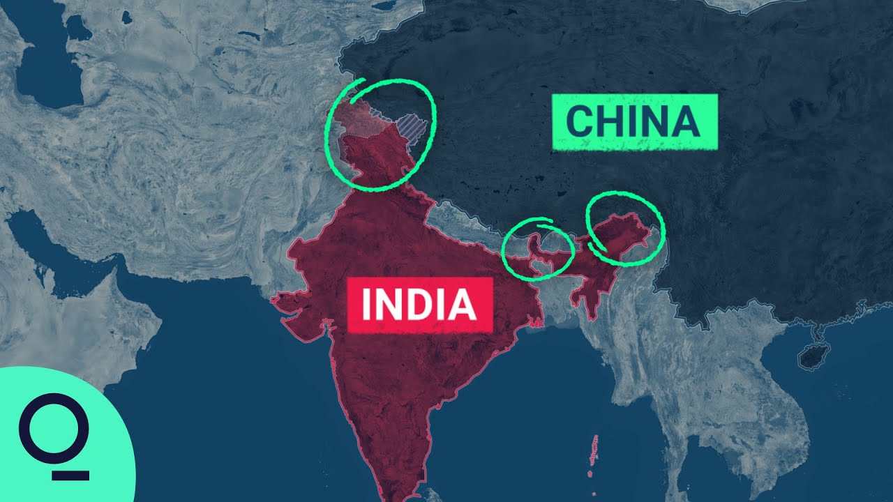
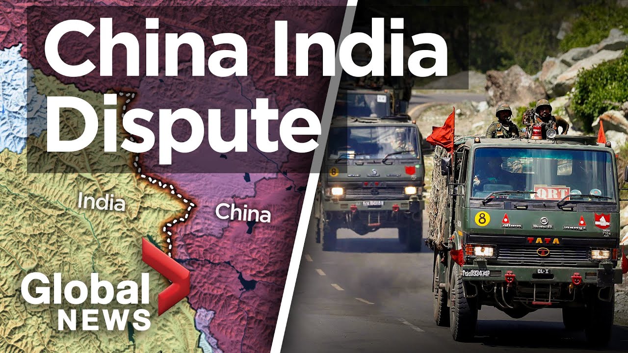
The boundary alongside China ranks as the second longest border of India. This boundary directly touches five key Indian regions: Jammu and Kashmir (Ladakh), Himachal Pradesh, Uttarakhand, Sikkim, and Arunachal Pradesh. For smooth administration, the Sino-Indian border is divided into three distinct operational sectors.
Detailed Sectoral Layout of the Border
The geographical divider between the two nations is split into three separate operational zones: Western, Middle, and Eastern. Each area possesses unique physical features and historical backgrounds originating over a century ago.
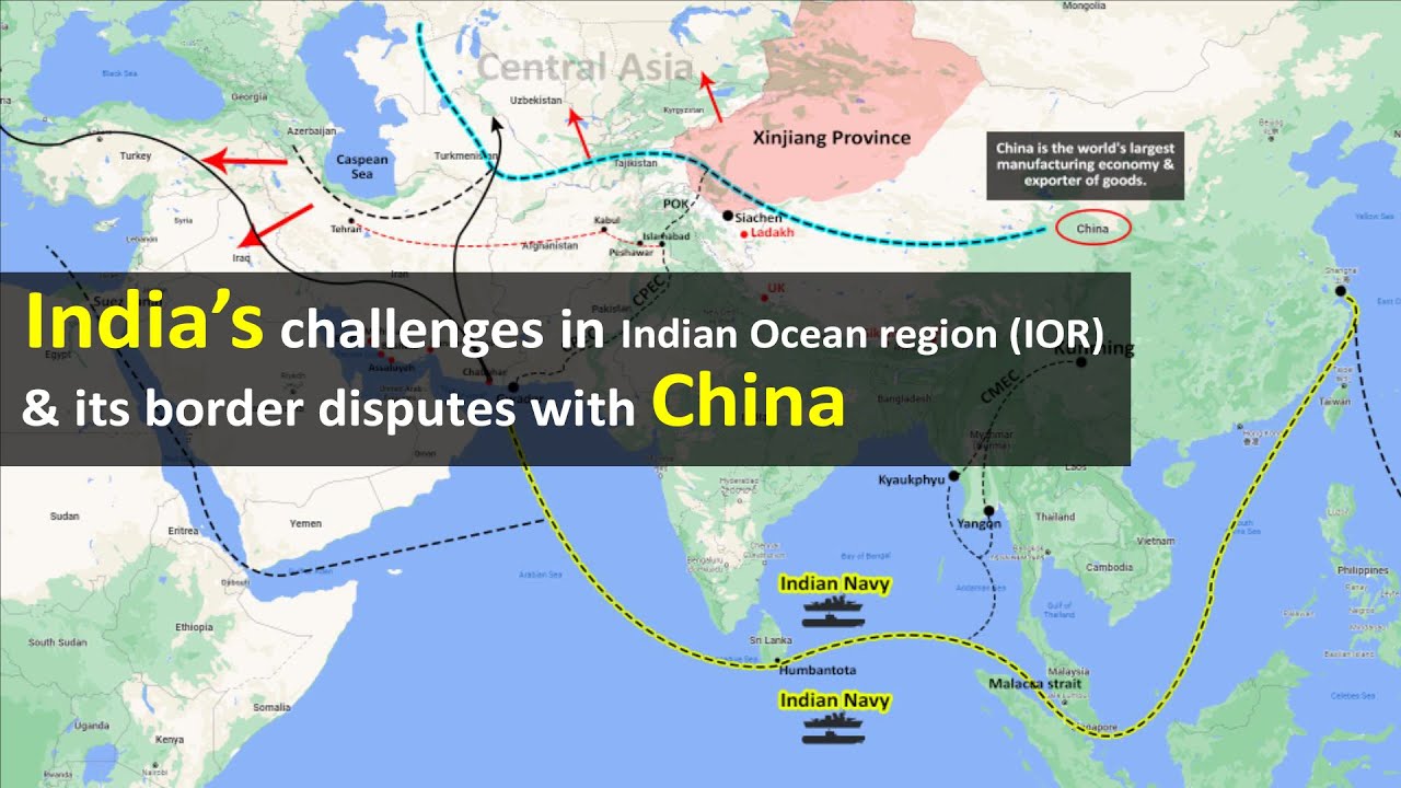
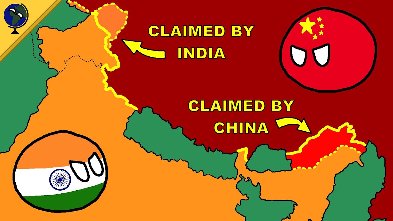
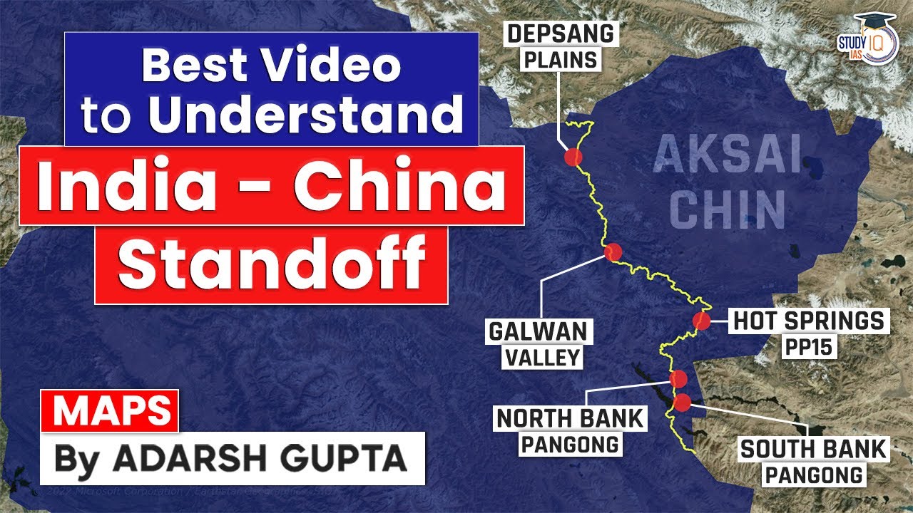
- (i) Western Sector: This segment separates Jammu and Kashmir (Ladakh) from China's Xinjiang province. Its border setup is mostly the result of past British decisions regarding Jammu and Kashmir. In this area, China claims the Aksai Chin district, the Changmo valley, Pangong Tso, the Sponggar Tso region of north-east Ladakh, and a land strip of roughly 5,000 sq km across eastern Ladakh. Furthermore, China claims part of the Hunza-Gilgit region in North Kashmir, which was handed over to it in by Pakistan.

Disputes with China at Northern Sector representing territorial overlaps in Ladakh - (ii) Middle Sector: Two Indian states, Himachal Pradesh and Uttarakhand, border this specific zone. India shares a boundary of about 625 km with China here, running along the high ridge water divide from Ladakh to Nepal. Historically, there has been very little disagreement regarding the border line in this section.

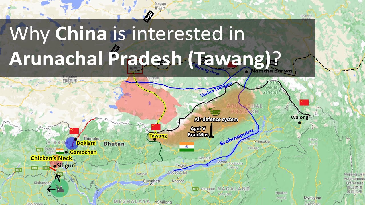
Disputes with China at Middle Sector outlining the watershed line boundary - (iii) Eastern Sector: This border runs for 1,140 km from the eastern edge of Bhutan to near the Diphu pass (Talu Pass) where India, Tibet, and Myanmar meet. This boundary is widely called the McMahon Line, named after Sir Henry McMahon. He negotiated the official agreement between Great Britain and Tibet during the Shimla Accord of . China considers the McMahon Line invalid, claiming that the Tibetan delegates who signed the agreement did not hold sovereign power to do so.

Disputes with China at Eastern Sector showing the alignment of the McMahon Line
Explore the Disputed Territories and Historical Boundaries
Border friction between the two countries stems from different interpretations of past boundary lines. Examining the exact legal proposals made by past administrations helps explain the source of present disagreements.
Analysis of Disputed Frameworks across the Sectors
Territorial disagreements exist because the British administration did not clearly mark a officially accepted border between China and India. The differences across the three sectors demonstrate this ongoing issue.
- (i) Western Sector Framework: India shares a border of roughly 2,152 km with China in this zone, situated between Ladakh and Xinjiang. The dispute over Aksai Chin remains unresolved, as India considers it an integral part of Ladakh, while China claims it belongs to Xinjiang. Two boundary lines were proposed during British rule: Johnson's Line (), which places Aksai Chin inside Indian territory, and the McDonald Line (), which puts Aksai Chin under Chinese territory. India accepts the Johnson Line as the correct border, whereas China supports the McDonald Line. At present, the Line of Actual Control (LAC) separates Indian Ladakh from Aksai Chin and follows the Chinese claim line.
- (ii) Middle Sector Framework: Stretching nearly 625 km along the natural water divide from Ladakh to Nepal, this section touches Tibet alongside Himachal Pradesh and Uttarakhand. Both sides have minimal disagreement over this stretch.
- (iii) Eastern Sector Framework: This 1,140 km border reaches from eastern Bhutan to the Talu Pass near Myanmar. The McMahon Line marks this boundary, but China rejects its legal standing, maintaining its position against the signatures from the Shimla Convention.
⚡ Quick Revision Capsule: India's Border Frontiers
This capsule summarizes the essential statistics, sector breakdowns, and key treaty lines defining India's international borders.
| Sector / Frontier | Geographic Extent & Coverage | Key Features & Disputed Frameworks |
|---|---|---|
| National Land Frontier | 15,106.7 km passing through 17 States and 92 Districts | Longest border with Bangladesh; shortest border with Afghanistan. |
| National Coastal Frontier | 7,516.6 km (6,100 km mainland + 1,197 km islands) across 13 States/UTs | Covers maritime frontiers; excludes only 6 inland States/UTs. |
| Western Border Sector | ~2,152 km between Ladakh and Xinjiang | Features the Aksai Chin dispute, Johnson's Line (), McDonald Line (), and LAC. |
| Middle Border Sector | ~625 km bordering Himachal Pradesh and Uttarakhand | Follows the continuous water divide from Ladakh to Nepal; least disputed section. |
| Eastern Border Sector | 1,140 km from Bhutan to Diphu Pass (Talu Pass) | Defined by the McMahon Line from the Shimla Accord; rejected by China. |
📝 Summary
In summary, India's geographical boundaries require managing a balance between wide ocean coastlines and long land frontiers. Understanding the historical lines across the Western, Middle, and Eastern sectors remains crucial for studying Indian geography and border security policies.
🚀 Quick Revision Points
Essential facts to review before examinations:
- (i) India features 15,106.7 km of land borders across 17 states and 7,516.6 km of total coastal territory.
- (ii) The border with China is the second longest and is divided into Western, Middle, and Eastern sectors.
- (iii) The Western Sector includes the Aksai Chin dispute, marked by the difference between the Johnson Line and the McDonald Line.
- (iv) The Eastern Sector border is formed by the 1,140 km McMahon Line, established during the Shimla Accord.
- 💡 Exam Tip: Memorize the six internal states/UTs that have neither land borders nor coastlines (MP, Chhattisgarh, Jharkhand, Delhi, Haryana, Telangana), as this is a frequently tested multiple-choice concept!
❓ Frequently Asked Questions (FAQ)
Q1: Which states are considered frontline states for border management in India?
A1: Except for internal areas like Madhya Pradesh, Chhattisgarh, Jharkhand, Delhi, Haryana, and Telangana, all other Indian states have one or more international boundaries or coastlines, making them frontline states.Q2: What is the primary difference between the Johnson Line and the McDonald Line?
A2: Proposed in , the Johnson Line places Aksai Chin under Indian control inside Ladakh. In contrast, the McDonald Line places Aksai Chin within Chinese territory.Q3: Why does China reject the validity of the McMahon Line in the Eastern Sector?
A3: China rejects the McMahon Line because it asserts that the Tibetan delegates who signed the Shimla Convention did not possess full sovereign authority to sign international treaties.