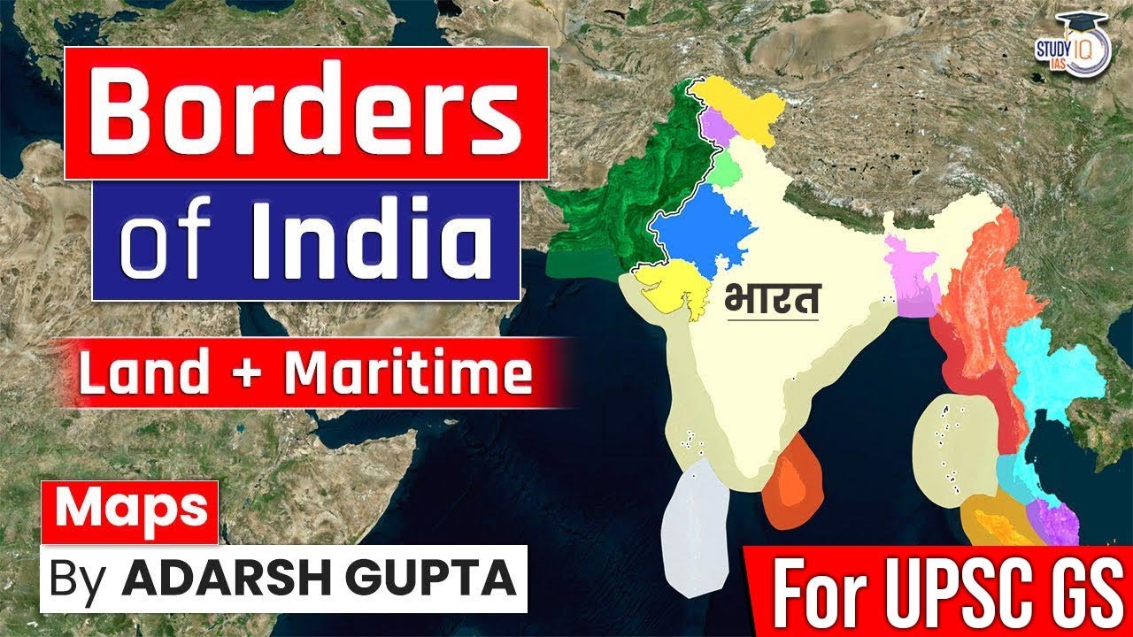
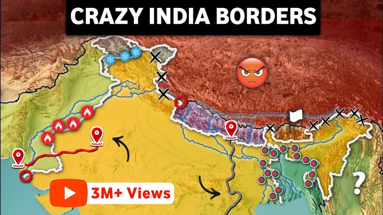
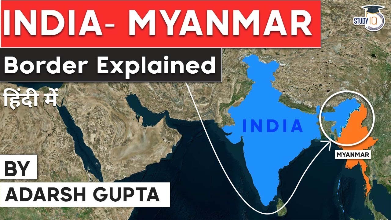
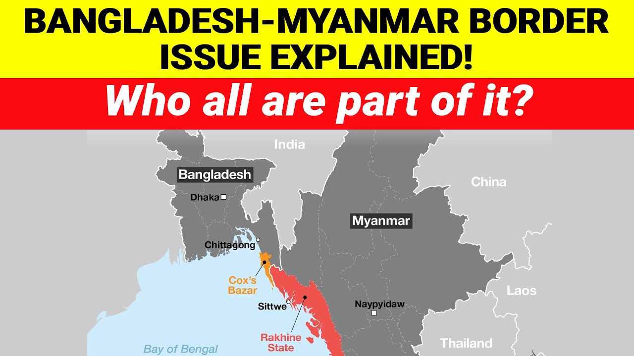
Take a geographic tour of India's important international borders, looking at the rich background and distinctive traits of its nearby countries. Learning these facts is vital for students studying for competitive exams, as understanding India's international borders, including the Radcliffe Award line with Bangladesh and the sea boundary through the Palk Strait, makes up an important part of Indian Geography and Polity. Knowing these details helps you answer questions correctly about geopolitical ties and physical features.
🎯 In this chapter, you will understand:
- The historical and geographic backdrop of India's land and maritime limits.
- Details of the India-Bangladesh border created under the Radcliffe Award.
- The natural mountain divide and watershed boundary between India and Myanmar.
- The sea boundary with Sri Lanka across the Palk Strait and the agreement over Kachchatheevu Islet.
💡 Why this topic matters: International boundaries shape regional stability, trade channels, and border safety, making them a central subject in competitive examination syllabi.
🧠 Core Idea: India's borders combine natural land features like rivers and mountain ridges with artificial lines drawn during historic political events.
India's International Boundaries: Geographical and Historical Context Analysis
A mix of international borders marks India's important geographic location, sharing land and sea boundaries shaped by history, terrain, and political agreements. India’s national limits feature both man-made and natural lines that influence its relations with neighbors and local trade connections.
- (i) The borders range from the highest mountains in the world to wide plains and delicate sea areas, each bringing distinct conditions and importance.
- (ii) The longest and most intricate borders were mostly drawn during the partition era, creating lasting regional connections.
- (iii) Learning how boundaries are drawn, whether by natural water divides or diplomatic talks, helps us grasp India's relations with surrounding nations.
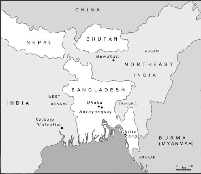
The Longest Shared Border: India-Bangladesh Demarcation
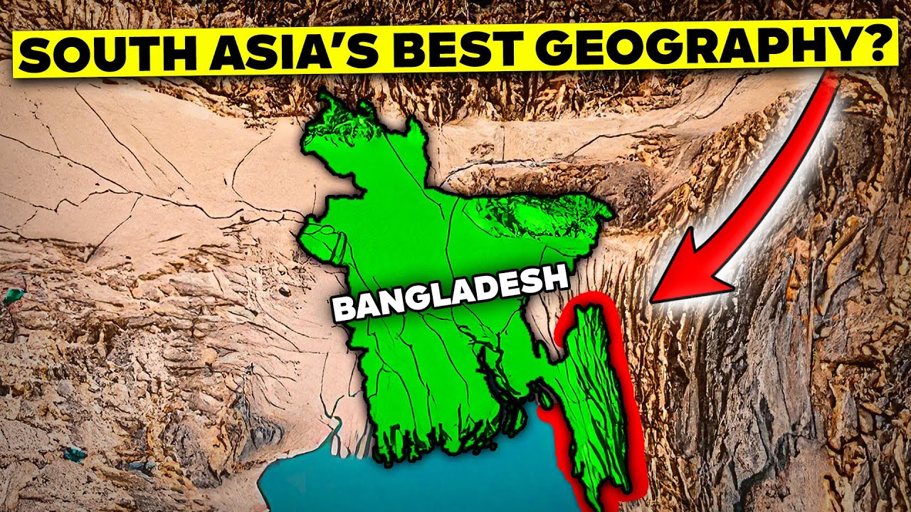
The border with Bangladesh is India's longest land boundary, inherited from the partition, and features a winding route through diverse land types.
India-Bangladesh Border: The Radcliffe Award and Historical Origin
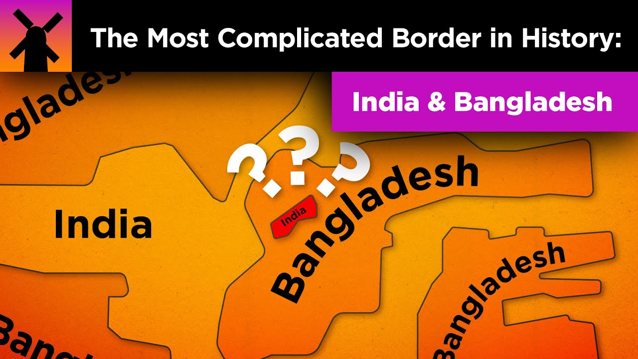
Stretching over 4,096 km, this boundary is India’s longest land frontier, created during the fast division of the old Bengal province. This complex boundary line was mostly set by the Radcliffe Award in , led by Sir Cyril Radcliffe, who was tasked with dividing British India into India and Pakistan (East Pakistan, which later became Bangladesh). This separation, based mostly on local religious majorities in each district, created a very fragmented border with many isolated pockets of land until a land swap deal fixed most of these issues.
- (i) The total length is roughly 4,096 km, making it the single largest boundary India shares with any neighboring country.
- (ii) The Radcliffe line defined the separation, splitting the old region of Bengal into two sections: West Bengal in India and East Pakistan (now Bangladesh).
- (iii) This border runs alongside five Indian states: Assam, West Bengal, Meghalaya, Tripura, and Mizoram, showing its large geography and strategic weight.
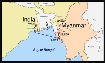
India-Myanmar: Natural Watershed Boundary and Terrain Features
The India-Myanmar border mostly runs along a natural mountain line in the northeast, marked by steep, heavily forested hills and defined by an important water divide.
Geographical Demarcation: Brahmaputra-Ayeyarwady Watershed
The boundary between India and Myanmar (formerly known as Burma) is mainly a natural divide, running across some of the most inaccessible and thickly forested mountain ranges. Its line generally follows the high ridge that divides the river systems flowing into the Brahmaputra river basin in India from those running into the Ayeyarwady (Irrawaddy) river system in Myanmar. Following these high mountain crests establishes a clear natural separation, though the remote location brings challenges for border monitoring and protection.
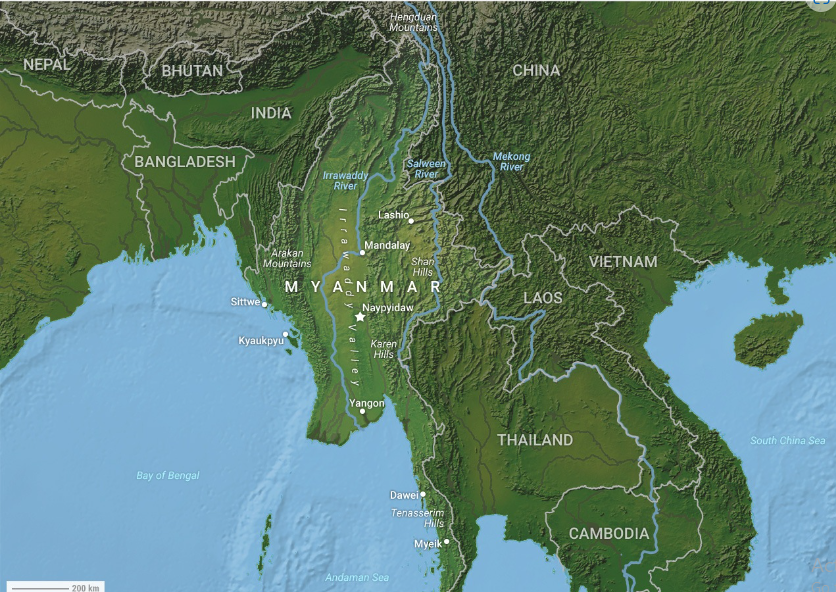
India-Myanmar border terrain - (i) Indian States: The border moves through the high ranges of the Mizo Hills, Manipur, and Nagaland on the Indian side.
- (ii) Myanmar Regions: The matching hill ranges on Myanmar's side include the Chin Hills, Naga Hills, and Kachin State.
- (iii) Terrain: The area features extreme topography and dense jungle cover, creating a natural wall that requires careful security management.
Maritime Neighbor: India-Sri Lanka Palk Strait Boundary
The water border between India and Sri Lanka is formed by a narrow, shallow ocean pass, highlighted by famous geographical formations and past agreements over island territories.
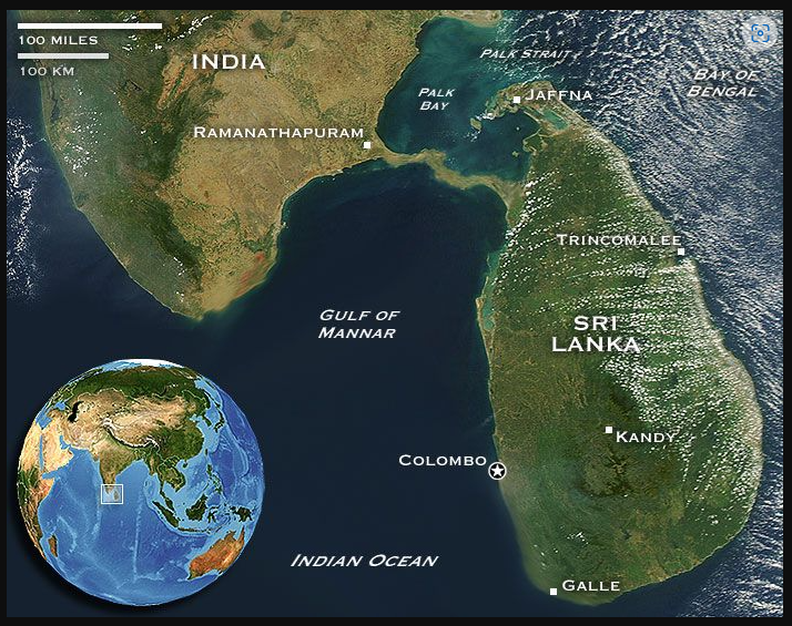
Palk Strait, Adam’s Bridge, and Island Disputes
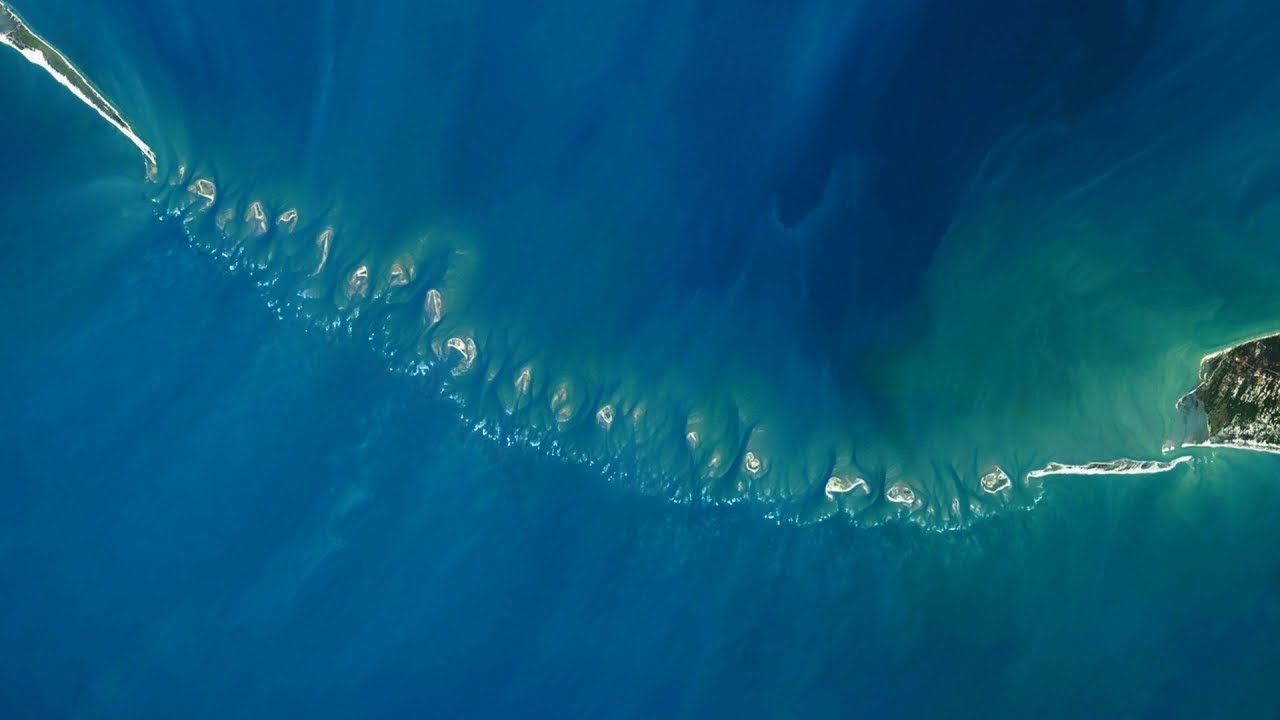
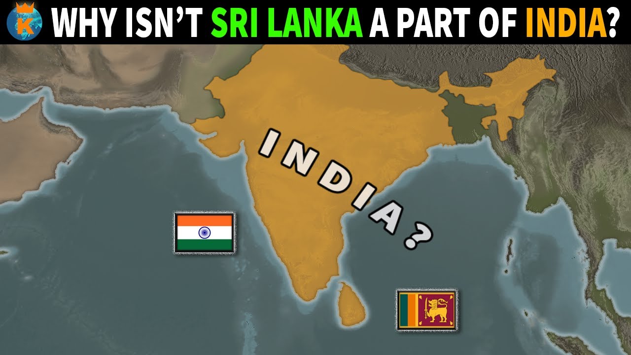
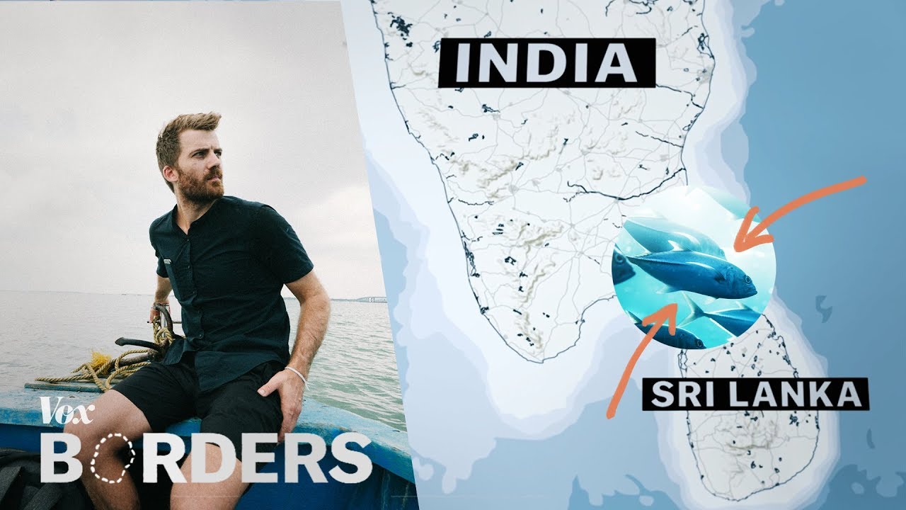
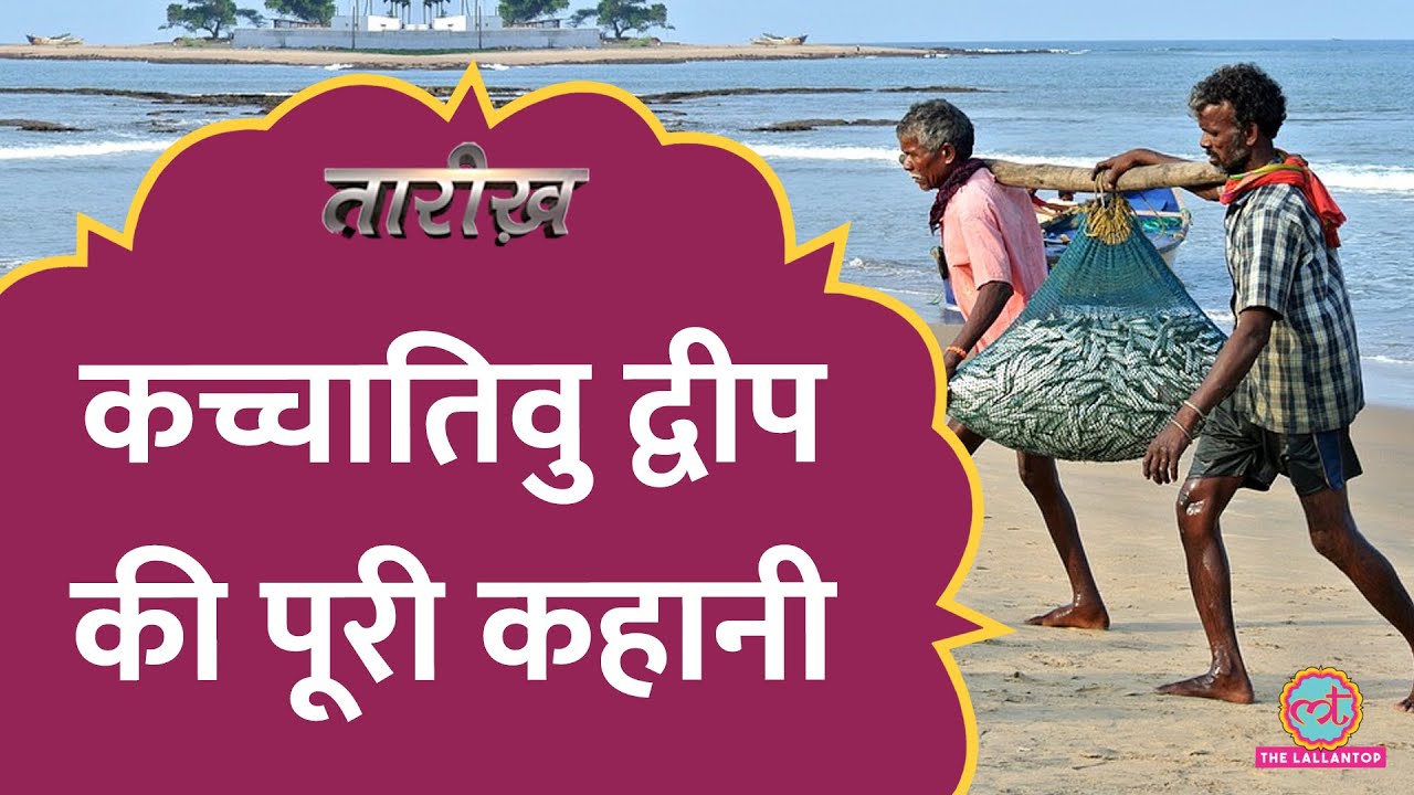
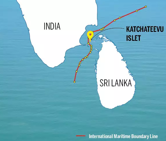
India's southern sea boundary with Sri Lanka is separated by the Palk Strait, a narrow and shallow area of sea. The two countries are very close here: Dhanushkodi on the Tamil Nadu coast in India is only about 32 km from Talaimanar on Sri Lanka’s Jaffna Peninsula. These two points are joined by a line of sandbanks and small islands called Adam’s Bridge (also known as Rama Setu), which has historical and geological value. While the border has remained peaceful, historical discussions centered on the tiny, unpopulated Kachchatheevu Islet (also spelled Katchatheevu) in the Palk Strait, which India officially handed over to Sri Lanka through a mutual agreement in .
- (a) Separation: The main sea gap is the Palk Strait, an important water pass joining the Bay of Bengal with the Gulf of Mannar.
- (b) Proximal Points: The closest land points are Dhanushkodi in India and Talaimanar in Sri Lanka, linked by the old Adam’s Bridge chain.
- (c) Diplomatic Resolution: The question of territorial ownership over Kachchatheevu Island was resolved peacefully when India transferred the islet to Sri Lanka in .
⚡ Quick Revision Capsule: India's Key Borders
This quick summary table highlights the main features, boundary types, and key historical facts for India's neighboring borders.
| Neighbor Nation | Boundary Type & Length | Key Geographical & Historical Features |
|---|---|---|
| Bangladesh | Land Frontier (~4,096 km) | Longest land border, defined by the Radcliffe Award in , touching five Indian states. |
| Myanmar | Natural Mountain Frontier | Follows the mountain watershed between the Brahmaputra and Ayeyarwady river basins. |
| Sri Lanka | Maritime Boundary | Divided by the Palk Strait and Adam’s Bridge; Kachchatheevu islet transferred in . |
📝 Summary
Understanding India's borders is fundamental to grasping its geopolitical strategy and regional influence. The boundaries with Bangladesh, defined by the Radcliffe Award in , represent the complexity of partition history, while the natural, rugged borders with Myanmar highlight the importance of geographical features like the Brahmaputra-Ayeyarwady watershed. Similarly, the maritime boundary with Sri Lanka, marked by the Palk Strait and the cession of Kachchatheevu in , reflects strategic diplomatic engagement. For students, these details are indispensable for comprehensively addressing topics in geography and international relations for all competitive exams.
🚀 Quick Revision Points
Essential facts to review before examinations:
- (i) The border with Bangladesh is India's longest land boundary, spanning roughly 4,096 km under the Radcliffe Award.
- (ii) Five Indian states (Assam, West Bengal, Meghalaya, Tripura, Mizoram) share borders with Bangladesh.
- (iii) The India-Myanmar border follows the natural high-altitude crests of the Brahmaputra-Ayeyarwady watershed.
- (iv) India and Sri Lanka are separated by the Palk Strait, with territorial rights over Kachchatheevu settled in .
- 💡 Exam Tip: Pay close attention to state names along the Bangladesh border and the specific river basins forming the watershed line with Myanmar, as these are frequently asked in map-based MCQs.
❓ Frequently Asked Questions (FAQ)
Q1: What is India's longest international land border?
A1: India's longest land frontier is shared with Bangladesh, stretching over approximately 4,096 km.Q2: Which geographical feature forms the boundary between India and Myanmar?
A2: The boundary is a natural divide following the mountain watershed that separates the Brahmaputra river system in India from the Ayeyarwady river system in Myanmar.Q3: How was the border dispute regarding Kachchatheevu Islet resolved?
A3: The dispute was settled peacefully through a bilateral agreement in , when India officially ceded Kachchatheevu Islet to Sri Lanka.