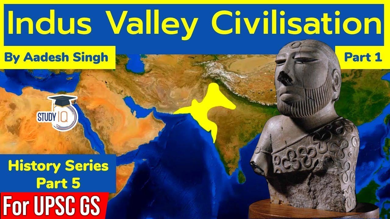
The Indus Valley Civilization (IVC), a highly sophisticated Bronze Age culture flourishing between 3300–1300 BCE, represents one of the world's most impressive early urban societies. This overview details the civilization's expansive geographical boundaries, unparalleled urban planning (featuring the famous Great Bath and granaries), its distinct religious beliefs centered on the Pashupati Seal, and the competing theories of decline. This comprehensive study is vital for students preparing for exams on ancient Indian history, offering deep insights into Harappan society, its standardized weights and measures, and its remarkable artistic expressions.
In this chapter, you will understand:
- The expansive geographical limits and core territories of the Harappan culture.
- The primary environmental and climate factors that caused the shift away from major urban hubs.
- The major historical theories regarding natural disasters and socio-economic breakdown.
- How de-urbanization altered civic systems and how IVC traditions integrated into later history.
Why this topic matters: Studying the Indus Valley Civilization provides foundational building blocks for clearing competitive exams on ancient Indian history. It illustrates how early human populations handled complex water management, architectural standardization, and eventual responses to massive climatic shifts.
Core Idea: The Harappan culture stood as an incredibly vast, systematically organized society across northwestern India. During its mature phase (2600–1900 BCE), it exceeded its global contemporaries in geographical reach. Its eventual transition after 1900 BCE shows a gradual, non-abrupt shift from major cities into small, scattered agricultural communities.
Geographical Extent of the Harappan Culture
The Indus Valley Civilization spanned a vast terrain, laying the bedrock for early trade and civil engineering across the subcontinent. Its size vastly outmatched either ancient Egypt or Mesopotamia during their peak development phases.
Core Regional Distribution
The core territory encompassed an expansive geographic belt crossing modern international borders and multiple states.
- The principal footprint covered modern-day regions including Punjab, Sindh, Baluchistan, Gujarat, Rajasthan, and Western Uttar Pradesh.
Maximum Spatial Limits
The extreme edges of the civilization indicate an organized trading grid covering hundreds of miles.
- The northernmost outpost touched Jammu, while the southern layout reached down to the Narmada estuary.
- The western line expanded to the Makran coast of Baluchistan, and the northeastern flank stretched as far as Meerut.
- The total area covered an estimated 1,299,600 square kilometers, housing a peak population exceeding 5 million citizens.
The Decline and End of Indus Valley Urbanism: Factors and Theories
The eventual collapse of this massive urban network remains a heavily debated historical puzzle. Scholars point to a mix of changing climate dynamics and shifting river lines rather than a single sudden event.

- The transition from the highly organized mature Harappan period to the late rural phases highlights severe ecological or civic stress.
Key Theories Explaining the IVC Decline
Multiple academic ideas look at environmental changes, structural collapse, and agricultural failures around 1900 BCE.
- Environmental Catastrophe: A major school of thought emphasizes environmental changes, such as a severe decrease in rainfall that caused prolonged drought conditions, combined with the diversion of river courses like the Ghaggar-Hakra system, which wrecked the farming economy.
- Natural Disasters: Other physical models point to frequent, catastrophic floods or heavy earthquakes that physically broke down city layouts like Mohenjo-daro and ended administrative stability.
- Socio-Economic Breakdown: The breakdown of central trade networks, political fragmentation, or early theories of migration (such as the now widely disputed Aryan Invasion Theory) likely sped up the fall.
The End of Urbanism and Cultural Assimilation
The collapse was not an instantaneous erasure of people, but an elongated phase of de-urbanization where urban populations systematically dispersed.
- The hallmark elements of the cities gradually faded out, paving the way for regional rural cultures across the subcontinent.
De-urbanization Patterns
As large administrative systems dissolved, community configurations downscaled into much smaller units.
Artifacts from the late Harappan phase reflecting a shift toward decentralized, simpler production techniques - The end of urbanism caused signature traits like standardized weights, uniform brick sizes, and written scripts to disappear.
- Civic populations moved toward simpler, decentralized rural settlements rather than rebuilding ruined infrastructure.
- The cultural elements of the IVC were slowly absorbed into subsequent local farming communities, keeping its legacy alive in altered forms.
Indus Valley Civilization Quick Revision Capsule
A fast-reference guide reviewing the core dimensions of the Indus Valley Civilization:
| Core Dimension | Key Elements & Locations | Primary Historical Significance |
|---|---|---|
| Geographical Bounds | Jammu to Narmada; Makran Coast to Meerut | Covered over 1,299,600 square kilometers across the subcontinent. |
| Mature Phase Time | 2600–1900 BCE | The height of architectural planning, showing advanced sanitation and uniform building materials. |
| Environmental Collapse | Drying of the Ghaggar-Hakra system; low rainfall | Destroyed the vital agricultural surplus needed to feed massive city centers. |
| Physical Disasters | Tectonic shifts, severe floods at Mohenjo-daro | Shattered administrative structures and interrupted local civic safety loops. |
| Late Harappan Shift | Post-1900 BCE de-urbanization | Led to the disappearance of standardized weights and the move to local rural lifestyle choices. |
Summary
The Indus Valley Civilization stands as a definitive marker of human organizational capability during the Bronze Age. Its layout teaches valuable lessons in civic infrastructure, standardization, and extensive trading networks. For academic success, students must master both its physical geography and the multi-causal theories explaining its decline. The collapse shows the close relationship between climate stability and the survival of complex human societies between 3300–1300 BCE.
Quick Revision Points for Students
Focus tightly on these essential historical facts during your final review:
- (i) The mature period of the IVC ran from 2600 to 1900 BCE, housing an estimated population of over 5 million.
- (ii) Total geographical area spanned approximately 1,299,600 square kilometers, reaching into modern Punjab, Sindh, Gujarat, and Rajasthan.
- (iii) The collapse was non-abrupt; urban centers faded out as citizens transitioned into localized rural settlements.
- (iv) Main drivers of decline include decreased rainfall, river path diversions, and structural damage from floods or earthquakes.
- Exam Tip: When writing answers about the decline of the IVC, never rely on a single reason. Examiners look for a balanced perspective that covers a mix of ecological shifts, drying river beds, and broken trade lines to explain the end of its urban phase.
Frequently Asked Questions (FAQ)
Q1: What were the geographical borders of the Indus Valley Civilization?
A1: The civilization stretched from Jammu in the north to the Narmada estuary in the south, and from the Makran coast of Baluchistan in the west to Meerut in the northeast.Q2: What caused the decline of Harappan urbanism around 1900 BCE?
A2: The transition was driven by a combination of factors, including decreased rainfall, changing paths of major rivers (like the Ghaggar-Hakra system), physical floods or earthquakes, and broken trading networks.Q3: Did the Indus Valley Civilization end suddenly?
A3: No, the decline was a slow de-urbanization process. The strict standardized weights and civic urban habits faded out over time as populations moved into smaller, scattered regional rural settlements.